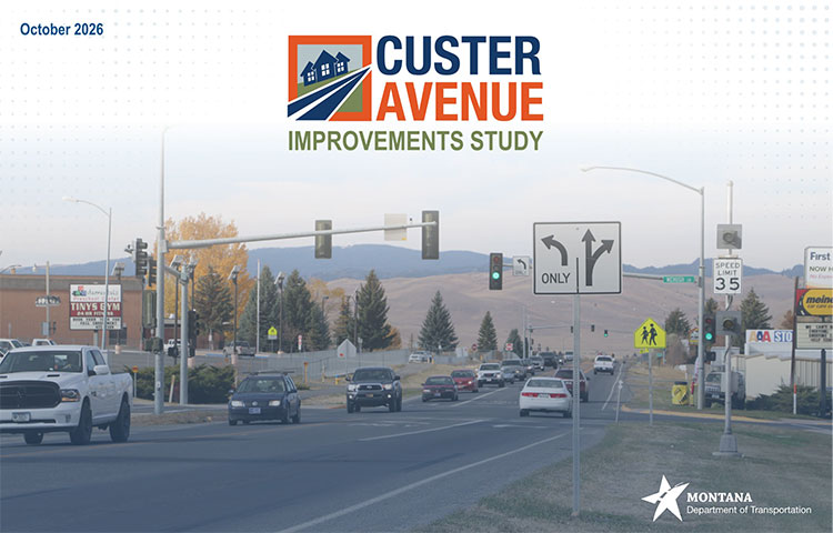
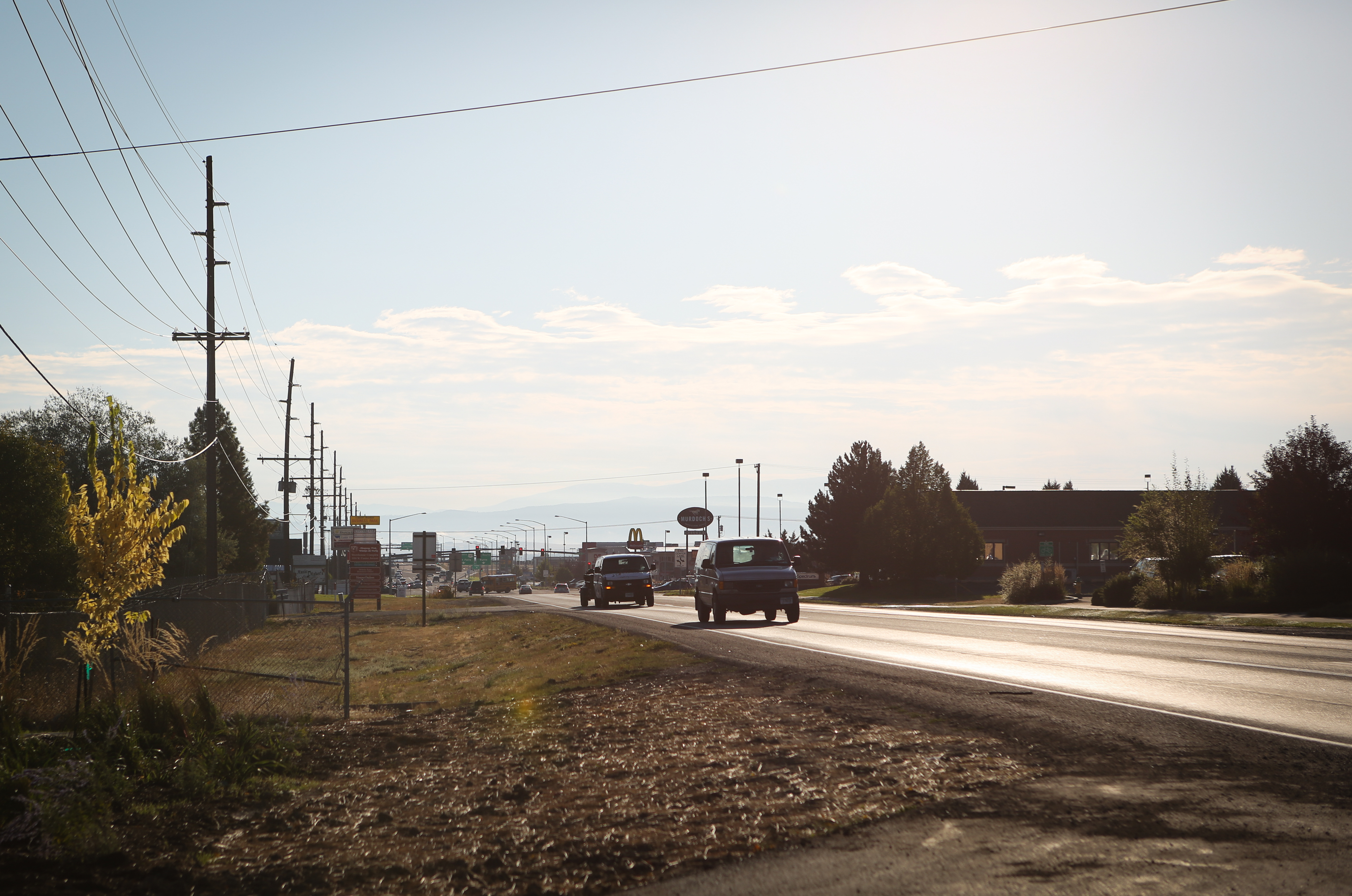
The Montana Department of Transportation (MDT), in partnership with the City of Helena, Lewis and Clark County, and the Greater Helena Area Metropolitan Planning Organization, has completed the Custer Avenue Improvements Study for West Custer Avenue between North Montana Avenue and Henderson Street. The study provides a planning level look at how the corridor functions today, and documents potential improvement concepts that could address congestion, delays, safety, access, and multimodal needs, along with related public input, environmental setting, drainage considerations, and funding and implementation constraints. As a planning document, the completed study does not create an active construction project, commit funding, or establish a schedule for specific improvements.
Within this framework, the study examined two corridor concepts: a four lane roundabout alternative and a five lane signalized alternative. These concepts, compare how each could perform under future conditions, including traffic flow, safety, access, right of way needs, and estimated costs along the corridor. This information helps illustrate potential tradeoffs and benefits of different intersection and corridor configurations, including changes to turning movements and non-motorized facilities. This study does not identify a preferred alternative.
The Custer Avenue Improvements Study was completed through a collaborative process to better understand transportation needs and explore potential solutions for this important route. The study draws on detailed traffic and safety analysis, land use and drainage information, and community input gathered through surveys, focus groups, and public meetings to document corridor conditions and evaluate potential improvement concepts. The final report serves as a planning level resource for future consideration of corridor needs.
Custer Avenue Feasibility Study
Custer Avenue Preliminary Traffic Engineering Report
Appendix A Data Collection
Appendix B Existing Conditions
Appendix C Projected Conditions
Appendix D Intersection Alternatives Operations
Appendix E Corridor Alternatives Operations
Appendix F Public Involvement